

2 Major Hurricanes Threaten The U.S. And Mexico This Weekend: Gulf Airports Closed Mandatory Evacuations & Warnings Issued
The North American travel network is facing severe, widespread disruptions this weekend as two rapidly intensifying hurricanes threaten major tourism and transit corridors. Travelers across the United States and along the Pacific coast of Mexico are facing an urgent, life threatening situation that requires immediate action. Driving conditions are rapidly deteriorating, flight schedules are collapsing, and local emergency management agencies are executing mandatory evacuations.
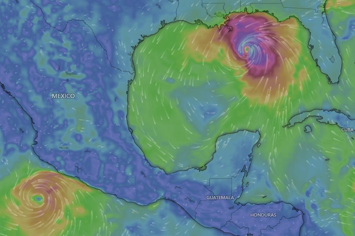
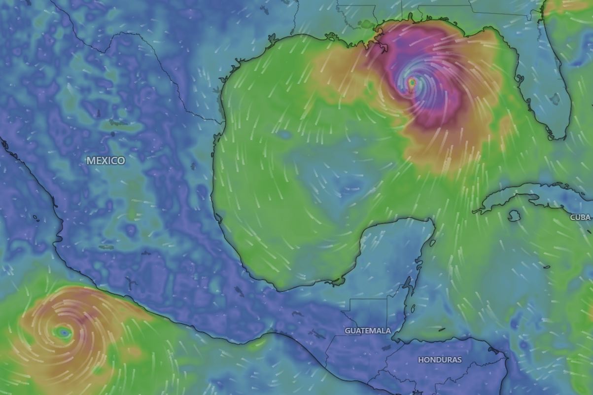
In the Gulf of America (Mexico), Hurricane Isaias has officially exploded into a Category 3 major hurricane packing maximum sustained winds of 120 miles per hour. Simultaneously, Hurricane Simon is rapidly strengthening off the west central coast of Mexico, carrying the dangerous potential to reach Category 4 status before slamming into the Pacific shoreline.
With property and lives at immediate risk, aviation officials and local governments are taking drastic measures to clear the impact zones. For anyone currently holding weekend flight tickets or located within an active evacuation zone, understanding the reality on the ground is absolutely critical.
Hurricane Isaias Triggers Catastrophic Gulf Coast Threat
Hurricane Isaias is currently churning across the northern Gulf of America (Mexico) and is officially expected to make a devastating landfall late Friday night or early Saturday morning near the Alabama and Florida border. The storm underwent rapid intensification over the warm Gulf waters, with wind speeds jumping significantly in just twenty four hours. A massive Hurricane Warning is now fully active from Ocean Springs, Mississippi, stretching eastward to the Bay and Gulf County line in Florida.
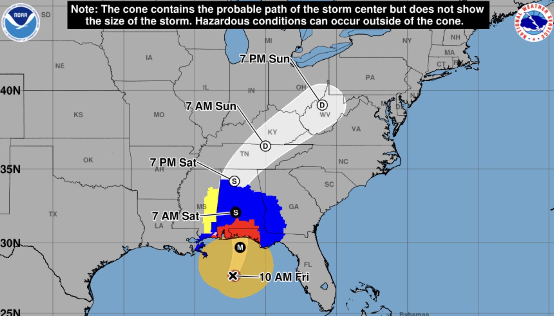
The most immediate danger to human life is the catastrophic storm surge. The National Hurricane Center has issued a Storm Surge Warning stretching from the mouth of the Mississippi River all the way to the Suwannee River. Peak surge levels are aggressively forecast to reach between four and seven feet above ground level around Mobile Bay, Dauphin Island, and the Florida Big Bend. This massive volume of incoming water will completely inundate coastal roads and swallow low lying properties, effectively making emergency rescue operations impossible once the storm makes landfall.
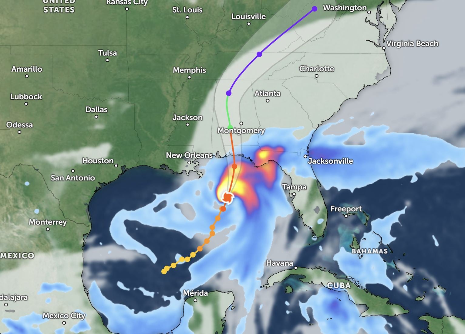
In addition to the surge, Isaias is expected to dump four to eight inches of rain across the region, with isolated areas from southern Alabama to the Florida Panhandle seeing up to fifteen inches. Local governments have not hesitated to act. Mandatory evacuation orders are actively in place for high risk coastal areas, including Pensacola Beach, Perdido Key, Gulf Shores, and Dauphin Island. Anyone located inside these designated evacuation zones must leave immediately and move inland before escape routes flood.
Aviation Network Shutdowns And Cascading Delays
The commercial aviation network is already shutting down ahead of landfall. Driving to a regional airport in the direct strike zone is completely useless and highly dangerous. Pensacola International Airport has officially ceased all commercial flight operations. Destin Fort Walton Beach Airport is also completely closed to all passenger traffic until further notice.
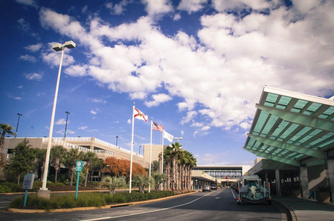
The travel disruptions extend far beyond the immediate landfall zone. Gulfport Biloxi International and Mobile Regional are facing massive, sweeping cancellations. More importantly, Louis Armstrong New Orleans International, which serves as a major regional artery for the Gulf South, is experiencing severe rolling delays and widespread cancellations.
Travelers across the entire United States need to rigorously check their flight status, even if their departure and arrival cities are nowhere near the Gulf Coast. The closure of these regional airports creates a massive national cascade effect. When flights cannot safely land or depart from the Gulf Coast, aircraft and their designated flight crews become stranded entirely out of position. This immediately triggers cascading delays at mega connecting hubs like Atlanta, Houston, and Dallas. Furthermore, major commercial carriers are actively repositioning their aircraft away from the Gulf Coast to protect their multi million dollar fleets from the 120 mph winds. Moving planes out of the active schedule creates massive aircraft shortages nationwide, delaying routine routes from New York to California.
Hurricane Simon Threatens The Mexican Pacific
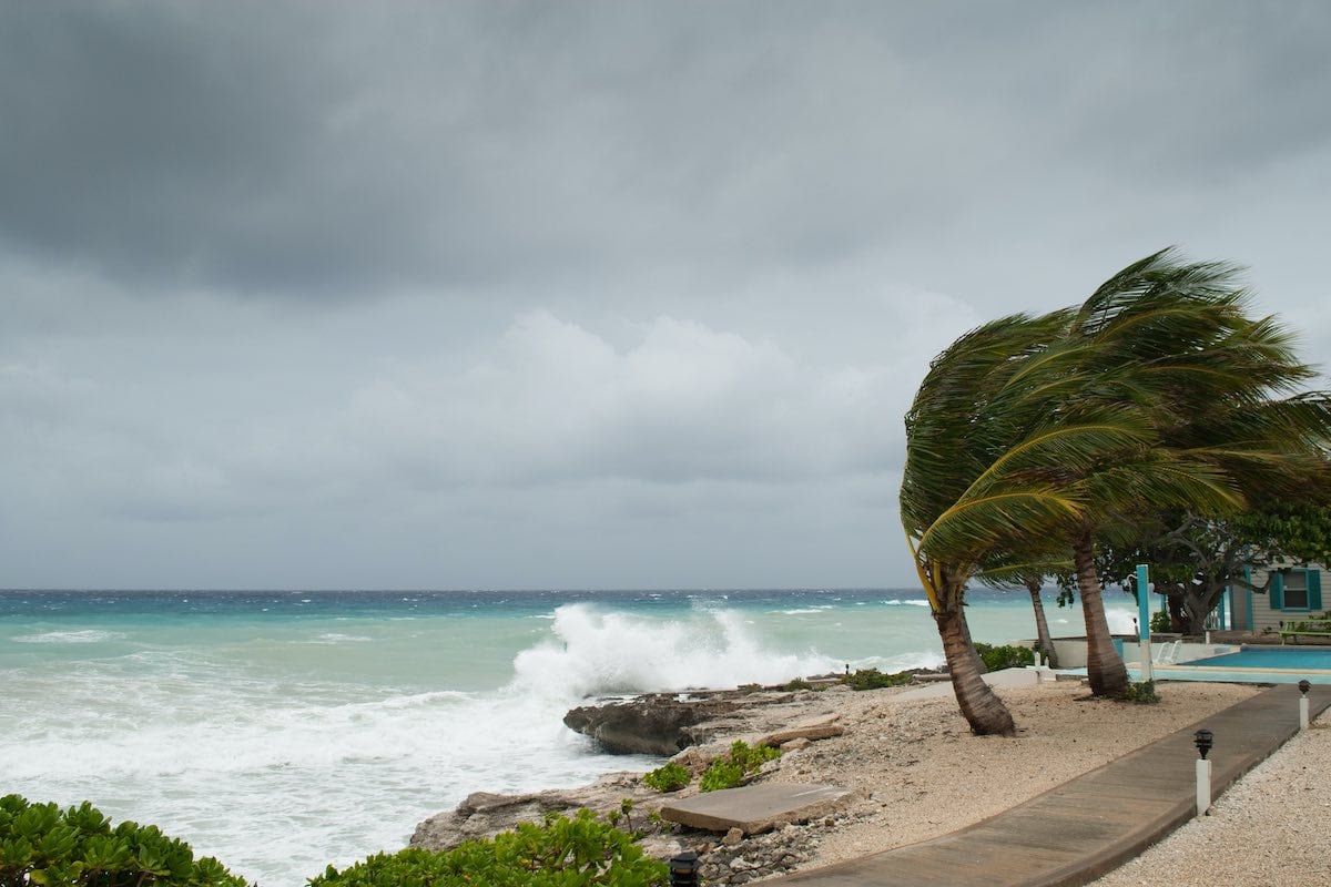
The weather threat this weekend is not limited to the United States. Off the west central coast of Mexico, Hurricane Simon is undergoing highly dangerous rapid intensification. Weather models indicate the storm will likely reach Category 4 status before approaching the coast on Saturday. The National Hurricane Center has issued urgent warnings stretching from Manzanillo to Punta Mita, placing extremely popular international tourist hubs directly in the crosshairs.
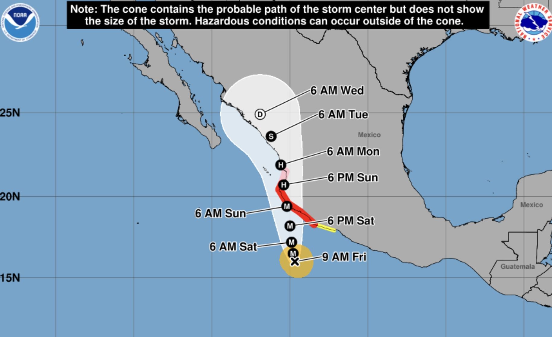
Puerto Vallarta, Jalisco, Nayarit, and Colima are actively bracing for catastrophic impacts. Meteorologists are predicting massive rainfall totals ranging from eight to twelve inches, with isolated mountainous areas potentially receiving up to twenty inches of torrential rain. Because the Mexican Pacific coastline is defined by incredibly steep, mountainous terrain, this immense volume of water will trigger life threatening flash floods and massive mudslides. Road access along the coast, specifically the highway connecting Puerto Vallarta to Sayulita, is at extreme risk of being completely washed out or blocked by debris. The Ameca River bridges are also being closely monitored for potential structural flooding.

Jalisco Civil Protection authorities are urgently asking all tourism businesses, hotels, and resorts to shelter their staff and guests in designated safe areas by Friday afternoon. Tourists are strictly ordered to stay out of the ocean, remain off the beaches, and absolutely avoid driving through flooded roads or steep mountainous terrain.
Critical Actions For Weekend Travelers
If you are holding a ticket to travel this weekend, or if you are currently on the ground in a threatened area, you must act with extreme urgency.
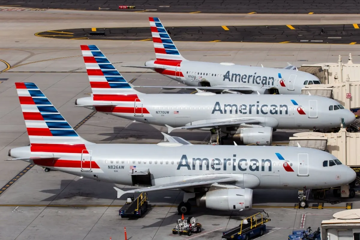
Delta Air Lines, American Airlines, United Airlines, and JetBlue have all activated emergency weather waivers for the impacted regions. These vital waivers allow passengers to rebook their flights to a later date or cancel for a full credit without paying change fees or fare differences. However, the waiver system is currently creating a massive logjam. Tens of thousands of displaced passengers are actively scrambling to rebook at the exact same time. You must use your airline mobile application to process your flight changes. Calling the standard customer service line will result in hours of hold time, and the alternative flights are selling out by the minute.
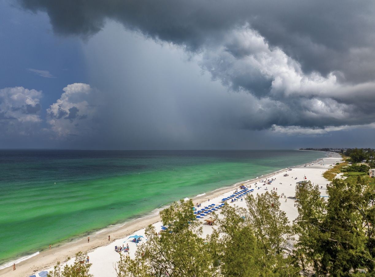
Do not attempt to drive to a closed Gulf Coast airport to speak with a ticketing agent. The terminals are locked down, and the roads will rapidly become impassable as the storm bands move closer.
For travelers currently located in Mexico, coordinate directly with your resort management regarding their specific hurricane shelter protocol. Expect significant power and internet outages across the Bay of Banderas region. Do not attempt to leave your hotel and drive to the Puerto Vallarta airport once the heavy rain bands begin. Stay inside interior rooms, stay away from glass windows, fill your bathtubs with emergency water, and strictly follow all evacuation directives from Mexican civil protection authorities.
For all official bulletins stay tuned to the National Hurricane Center
Enter your email address to subscribe to Travel Off Path’s latest travel news, straight to your inbox